NIDA, Lithuania — Who wants to see a spit?
Unless you really paid attention in geography class or happen to live near one, likely when someone offers you to see a spit, you assume they know some prepubescent tricks with saliva.
Well, thankfully the Curonian Spit isn’t that. But let’s not call it by that name. The official name for it in Lithuanian is Kuršių nerija, in Russian Куршская коса and in German Kurische Nehrung. However, while those are a step up from the English name for it but I prefer calling it the Neringa, which is the Lithuanian nickname for it anyway. Neringa is the name of the pagan Baltic goddess that created the “spit.”
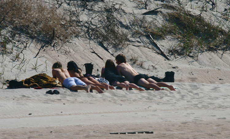
Anyway the Neringa is a grand old spit, i.e. a thin strip of sand jutting out into the sea. It stretches 52 km south until hitting the Russian border and the western side is a continuous sandy beach, easily the best in the country while the eastern side along the Curonian Lagoon is punctuated with small resort towns like Nida and Juodkrantė.
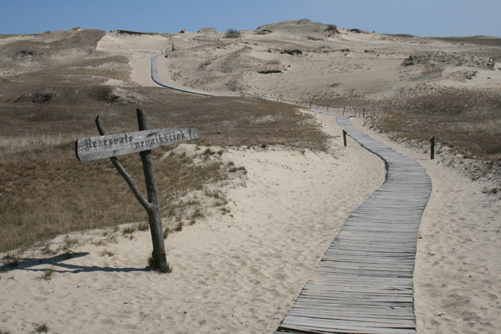
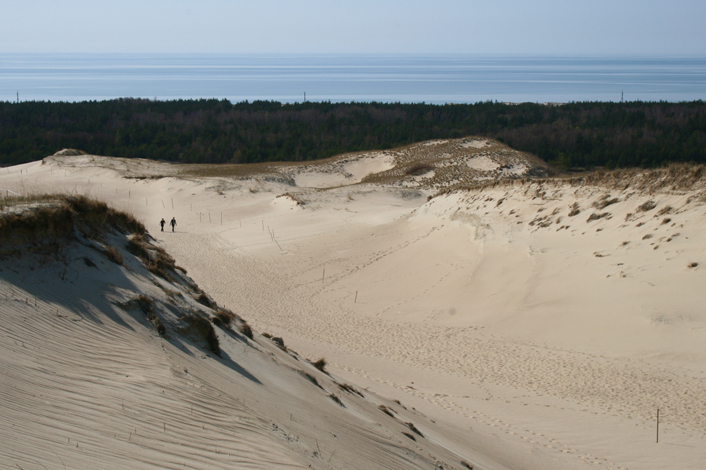
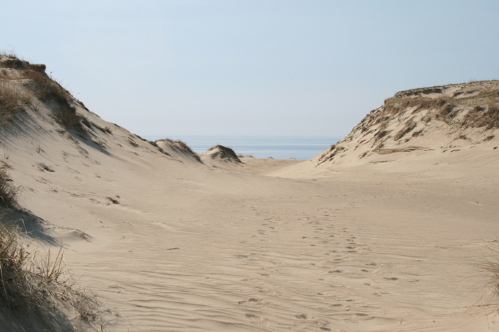
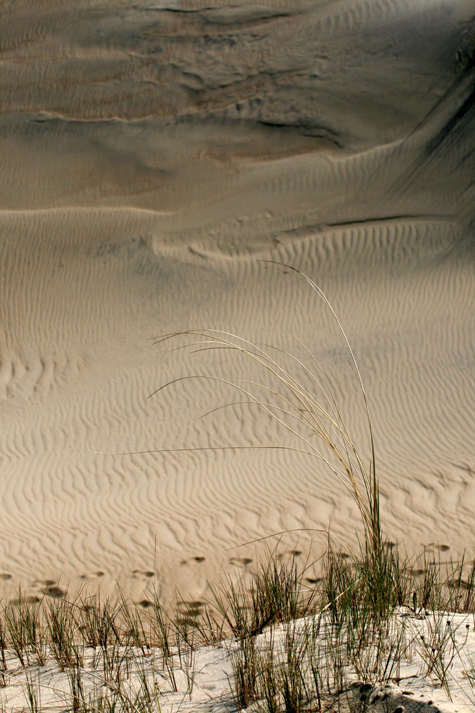
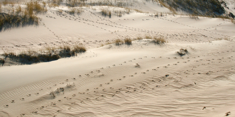
What really makes it noteworthy, though, is the height of the sand dunes which offer the most epic views in all of Lithuania complete with a unique pine and salt water scented breeze from thick forests and sea. Since 2000 it’s been on UNESCO’s World Heritage List.
Given the weather we’ve had in the Baltics, now is a good time to head to the coast. Is there anywhere you’d rather be than a beach when it’s above 30˚C?
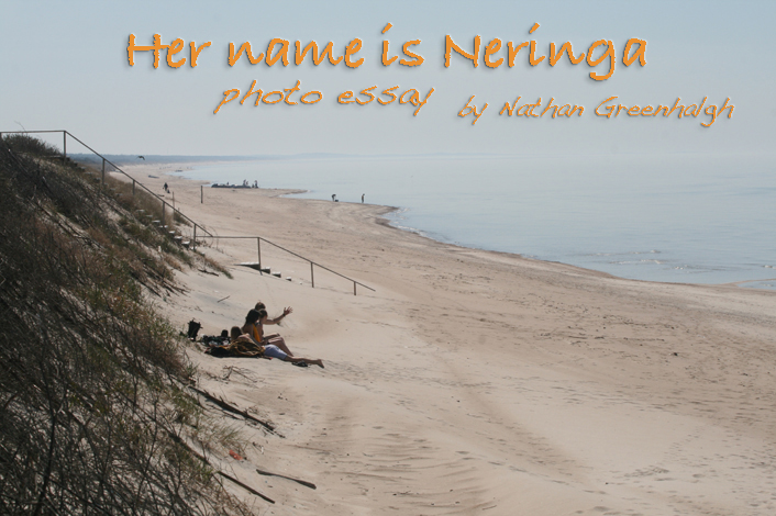
For those who haven’t been there yet or for those that are stuck in a stuffy Vilnius office or apartment and longing for the coast, I created this photo essay “Her Name is Neringa.”
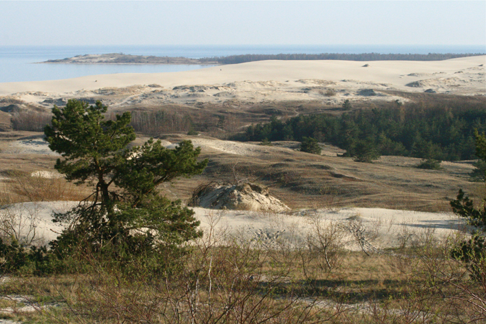
The view from the top of the dunes on the southern end of the Neringa. Photo by Nathan Greenhalgh/Baltic Reports
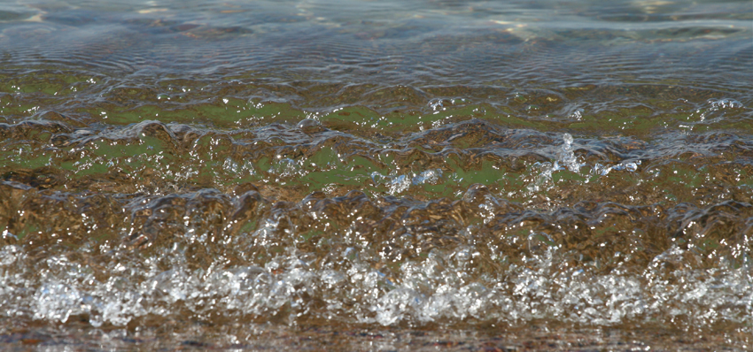
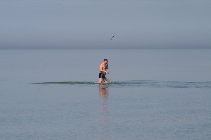
Waves from the Baltic Sea hit, or rather gently tap, the beach. Photo by Nathan Greenhalgh/Baltic Reports
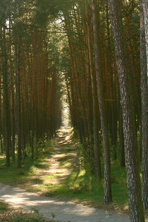
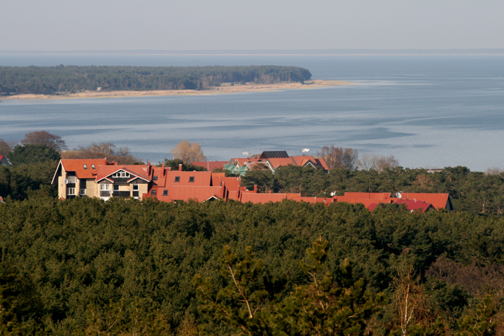
The lower altitude areas of the Neringa are heavily forested. Photo by Nathan Greenhalgh/Baltic Reports
All rights reserved. Republishing without permission is prohibited by law.




“The” Neringa? I’ve always just called it Neringa. Obviously the article doesn’t exist in Lithuanian, so why would you add it in English? They don’t appear to use an article here, either: http://en.wikipedia.org/wiki/Neringa_municipality
Nice photos, by the way.
So lovely pictures; Courland Spit seems to be my next holiday destination!